
3D Laser Scanning for Existing Conditions in Washington
Accurate point clouds for renovation, engineering, construction, and facility documentation.
Capture the Site Once. Design with Confidence.
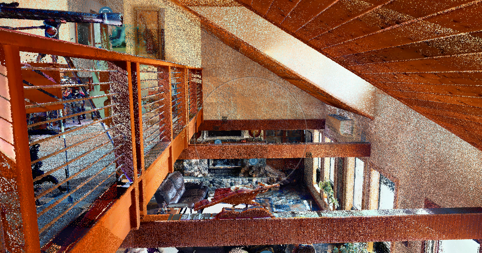
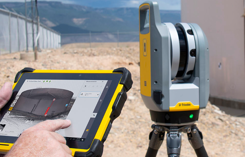
We use terrestrial laser scanning to create an accurate, measurable record of existing conditions—reducing manual measurements, return visits, and uncertainty.
Best for:
• Renovations and adaptive reuse
• Industrial and utility facilities
• MEP coordination
• As-built documentation
Deliverables can include registered RCP/RCS or E57 point clouds, panoramic imagery, organized area files, and QA documentation.
Need a Revit Model?
Laser scanning creates the point cloud—the accurate digital record of the site. Your team can use that data directly in design and coordination software.
If modeled geometry is required, the point cloud can support a separate scan-to-BIM scope at the agreed level of detail. This keeps field capture, point-cloud delivery, and BIM modeling clear from the start.
Need reliable existing-condition data for your next project?
Proven Results
For a Jacobs industrial-facility project, Aerial Robolution captured 372 scan stations across four major model areas in approximately three weeks. The registered dataset achieved a 1.7 mm mean registration error and a 2.5 mm maximum registration error.
“Working with Jared with Aerial Robolution has been a real pleasure. His excellent communication and collaboration allow for a seamless work product and enjoyable working relationship.”
— Karla Kasick, Project Manager, Jacobs
